Gas station nearby Total
Belgium
Gas station nearby Total
Total
E17 Kortrijk-gent (n) 4, Nazareth Belgien
contacts phone
:
+32
Latitude:
50.970811
, Longitude:
3.609484
read more
nearest Gas station
563 m
Total
E17, Nazareth
Gas station
read more
577 m
Total
E17 Gent- Kortrijk (Z, Nazareth
Gas station
read more
577 m
Total
E17 Gent- Kortrijk (z) 1, Nazareth
Gas station
read more
2.563 km
Maes
Emiel Clauslaan 122, Deinze
Gas station
read more
2.725 km
Texaco
's Gravenstraat 195, Nazareth
Gas station
read more
3.016 km
Esso - Van Hoecke
Xavier de Cocklaan 9, Sint-Martens-Latem
Gas station
read more
3.295 km
Total
Emiel Clauslaan 2, Deinze
Gas station
read more
3.578 km
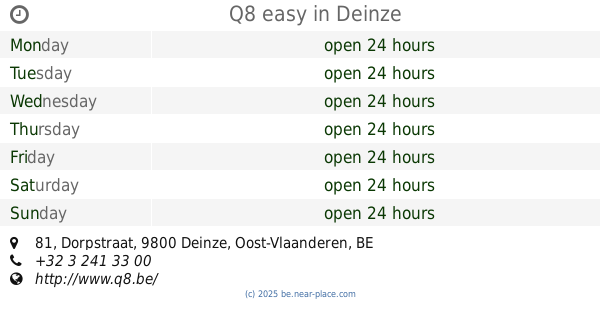
Q8 easy
Dorpstraat 81, Deinze
Gas station
read more
3.675 km
Tankstation Makro
Begoniastraat 15, Nazareth
Gas station
read more
3.675 km
Makro
Savaanstraat 1, Eke
Gas station
read more
3.675 km
Makro benzinestation
Begoniastraat 15, Nazareth
Gas station
read more
3.836 km
Texaco
Polderdreef 9, De Pinte
Gas station
read more
4.025 km
Desimpel Energy Group
Kortrijksesteenweg 188, Sint-Martens-Latem
Gas station
read more
4.326 km
Esso
Gaversesteenweg 307, Deinze
Gas station
read more
4.395 km
Gabriëls
Kortrijksesteenweg 156, Sint-Martens-Latem
Gas station
read more
4.417 km
Octa+
Baron de Gieylaan 103, De Pinte
Gas station
read more
4.54 km
DATS 24
Gentsesteenweg 208, Deinze
Gas station
read more
4.917 km
Texaco
213, Gaversesteenweg 211, Deinze
Gas station
read more
4.932 km
Van Coillie P&G
Leernsesteenweg 257, Deinze
Gas station
read more
5.288 km
Energy
Leernsesteenweg 52, Deinze
Gas station
read more
5.632 km
Total
Kortrijksesteenweg 4, Sint-Martens-Latem
Gas station
read more
12.669 km
Lukoil Gentbrugge
Brusselsesteenweg 679, Gentbrugge
Gas station
read more
14.209 km
Total
Brusselsesteenweg 314, Melle
Gas station
read more
15.772 km
Power
F. Rooseveltlaan 102, Waregem
Gas station
read more
16.138 km
Bvba Van Meerhaeghe
Rijksweg 1, Wielsbeke
Gas station
read more
📑
all categories
Accounting
Administrative area level 1
Administrative area level 2
Airport
Amusement park
Aquarium
Art gallery
Atm
Bakery
Bank
Bar
Beauty salon
Bicycle store
Book store
Bowling alley
Bus station
Cafe
Campground
Car dealer
Car rental
Car repair
Car wash
Casino
Cemetery
Church
City hall
Clothing store
Colloquial area
Convenience store
Country
Courthouse
Dentist
Department store
Doctor
Electrician
Electronics store
Embassy
Finance
Fire station
Florist
Food
Funeral home
Furniture store
Gas station
General contractor
Grocery or supermarket
Gym
Hair care
Hardware store
Health
Hindu Temple
Home goods store
Hospital
Insurance agency
Jewelry store
Laundry
Lawyer
Library
Light rail station
Liquor store
Local government office
Locality
Locksmith
Lodging
Meal delivery
Meal takeaway
Mosque
Movie rental
Movie theater
Moving company
Museum
Natural feature
Neighborhood
Night club
Painter
Park
Parking
Pet store
Pharmacy
Physiotherapist
Place of worship
Plumber
Point of interest
Police
Political
Post office
Premise
Real estate agency
Restaurant
Roofing contractor
Route
Rv park, camping
School
Shoe store
Shopping mall
Spa
Stadium
Storage
Store
Subpremise
Subway station
Supermarket
Synagogue
Taxi stand
Train station
Transit station
Travel agency
University
Veterinary care
Zoo
sublocality level 1
sublocality level 2
sublocality level 3
↑