Park nearby Weyneshof
Belgium
Park nearby Weyneshof
Weyneshof
Bonheiden Belgium
contacts phone
:
+32
Latitude:
51.0288207
, Longitude:
4.6079526
read more
nearest Park
1.087 km
Versailles
Teintstraat 46, Putte
Park
read more
1.441 km
VDP Landscaping & Pools
Vaatjesstraat 46, Putte
Park
read more
1.471 km
Vdb Tuinen, Agriculture
Steenstraat 8, Beerzel
Park
read more
1.942 km
Recreatie- en Parkgebied Heerkenshoeve
Putte
Park
read more
2.336 km
Ixenheuvel
Putte
Park
read more
2.395 km
't Ven
Korte Dreef, Rijmenam
Park
read more
3.058 km
Domein Sluyts (Kastanjebos)
Lange Dreef 38-54, Bonheiden
Park
read more
3.305 km
Natuurpunt Broekelei
Broekelei 3140, Keerbergen
Park
read more
3.35 km
ALL4SUN sunproof! - Zonwering & Rolluiken regio Keerbergen
Haachtsebaan 57, Keerbergen
Park
read more
3.455 km
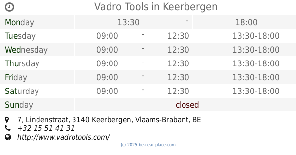
Vadro Tools
Lindenstraat 7, Keerbergen
Park
read more
3.712 km
Provinciaal Overstromingsgebied Voordonkse Plassen
Schrieksesteenweg 2580, Putte
Park
read more
3.919 km
Tuinen Ceulemans
Vossekot 7, Keerbergen
Park
read more
4.544 km
b-Tree Boomverzorging
Bareelstraat 76a, Putte
Park
read more
4.604 km
blommeren bos
Hendrik Consciencelaan 32, Bonheiden
Park
read more
4.847 km
Vossenbergbos
Kerkhoflei 2a, Sint-Katelijne-Waver
Park
read more
4.922 km
Mispeldonk
Bonheiden
Park
read more
4.99 km
Ravesteinvissers
Dijk, Boortmeerbeek
Park
read more
5.021 km
De Donckvrienden
Rijmenamsebaan 59, Boortmeerbeek
Park
read more
5.245 km
Den bunker van het gasthuisbos
Berlaarbaan 338, Sint-Katelijne-Waver
Park
read more
5.297 km
Ravesteinpark
Ravesteinstraat 50, Boortmeerbeek
Park
read more
5.364 km
Park Parochiezaal
Putte
Park
read more
5.506 km
Antitankgracht
Roostweg 7, Haacht
Park
read more
5.926 km
natuurpark
Hallaardreef 15, Putte
Park
read more
6.383 km
Hondsbossen
Sint-Katelijne-Waver
Park
read more
6.558 km
Trakat-Van den Eynde
Leliestraat 4, Sint-Katelijne-Waver
Park
read more
📑
all categories
Accounting
Administrative area level 1
Administrative area level 2
Airport
Amusement park
Aquarium
Art gallery
Atm
Bakery
Bank
Bar
Beauty salon
Bicycle store
Book store
Bowling alley
Bus station
Cafe
Campground
Car dealer
Car rental
Car repair
Car wash
Casino
Cemetery
Church
City hall
Clothing store
Colloquial area
Convenience store
Country
Courthouse
Dentist
Department store
Doctor
Electrician
Electronics store
Embassy
Finance
Fire station
Florist
Food
Funeral home
Furniture store
Gas station
General contractor
Grocery or supermarket
Gym
Hair care
Hardware store
Health
Hindu Temple
Home goods store
Hospital
Insurance agency
Jewelry store
Laundry
Lawyer
Library
Light rail station
Liquor store
Local government office
Locality
Locksmith
Lodging
Meal delivery
Meal takeaway
Mosque
Movie rental
Movie theater
Moving company
Museum
Natural feature
Neighborhood
Night club
Painter
Park
Parking
Pet store
Pharmacy
Physiotherapist
Place of worship
Plumber
Point of interest
Police
Political
Post office
Premise
Real estate agency
Restaurant
Roofing contractor
Route
Rv park, camping
School
Shoe store
Shopping mall
Spa
Stadium
Storage
Store
Subpremise
Subway station
Supermarket
Synagogue
Taxi stand
Train station
Transit station
Travel agency
University
Veterinary care
Zoo
sublocality level 1
sublocality level 2
sublocality level 3
↑