Park nearby Memorial to the victims of Brussels bombings
Belgium
Park nearby Memorial to the victims of Brussels bombings
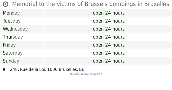
Memorial to the victims of Brussels bombings
Wetstraat 248, Brussel België
contacts phone
:
+32
Latitude:
50.8421577
, Longitude:
4.3857504
read more
nearest Park
Memorial to the victims of Brussels bombings
Rue de la Loi 248, Bruxelles
Park
read more
343 m
Parque del Cincuentenario
Brussels
Park
read more
531 m
Vallée du Maelbeek Garden
Brussel
Park
read more
531 m
Vallée du Maelbeek Garden
Brussels
Park
read more
531 m
Jardin de la Vallée du Maelbeek
Brussels
Park
read more
537 m
Plaine de Jeux Ambiorix
Ambiorixsquare 44, Brussel
Park
read more
542 m
Parc Léopold
Rue Belliard, Bruxelles
Park
read more
542 m
Plaine de Jeux Marguerite
Brussels
Park
read more
542 m
Plaine de Jeux Marguerite
Bruxelles
Park
read more
544 m
Square Marguerite
Brussels
Park
read more
555 m
Square Ambiorix
Ambiorixsquare, Brussel
Park
read more
555 m
Ambiorix Square
Ambiorixsquare, Brussel
Park
read more
627 m
Les Bassins du Square Palmerston
Brussels
Park
read more
681 m
Park Jo Heyne
Place Jourdan 48, Etterbeek
Park
read more
681 m
Park Jo Heyne
Jourdanplein 48, Etterbeek
Park
read more
681 m
Parc Jo Heyne
Place Jourdan 48, Etterbeek
Park
read more
749 m
Marie-Louise Square
Maria-Louizasquare 1000, Brussel
Park
read more
845 m
Place de Jamblinne de Meux
Place de Jamblinne de Meux 1-24, Schaerbeek
Park
read more
849 m
Square Forte Dei Marmi
Place Jourdan, Etterbeek
Park
read more
857 m
Jean-Felix Hap Garden
Etterbeek
Park
read more
857 m
Jardin Jean-Felix Hap
Etterbeek
Park
read more
1.011 km
Jardin Collectif Gray
Etterbeek
Park
read more
1.011 km
Collectif Gray Garden
Etterbeek
Park
read more
1.152 km
Speelplein Rinsdelle
Etterbeek
Park
read more
1.165 km
Viaductpark
Viaductstraat 133, Elsene
Park
read more
📑
all categories
Accounting
Administrative area level 1
Administrative area level 2
Airport
Amusement park
Aquarium
Art gallery
Atm
Bakery
Bank
Bar
Beauty salon
Bicycle store
Book store
Bowling alley
Bus station
Cafe
Campground
Car dealer
Car rental
Car repair
Car wash
Casino
Cemetery
Church
City hall
Clothing store
Colloquial area
Convenience store
Country
Courthouse
Dentist
Department store
Doctor
Electrician
Electronics store
Embassy
Finance
Fire station
Florist
Food
Funeral home
Furniture store
Gas station
General contractor
Grocery or supermarket
Gym
Hair care
Hardware store
Health
Hindu Temple
Home goods store
Hospital
Insurance agency
Jewelry store
Laundry
Lawyer
Library
Light rail station
Liquor store
Local government office
Locality
Locksmith
Lodging
Meal delivery
Meal takeaway
Mosque
Movie rental
Movie theater
Moving company
Museum
Natural feature
Neighborhood
Night club
Painter
Park
Parking
Pet store
Pharmacy
Physiotherapist
Place of worship
Plumber
Point of interest
Police
Political
Post office
Premise
Real estate agency
Restaurant
Roofing contractor
Route
Rv park, camping
School
Shoe store
Shopping mall
Spa
Stadium
Storage
Store
Subpremise
Subway station
Supermarket
Synagogue
Taxi stand
Train station
Transit station
Travel agency
University
Veterinary care
Zoo
sublocality level 1
sublocality level 2
sublocality level 3
↑