Campground nearby Thalassa
Belgium
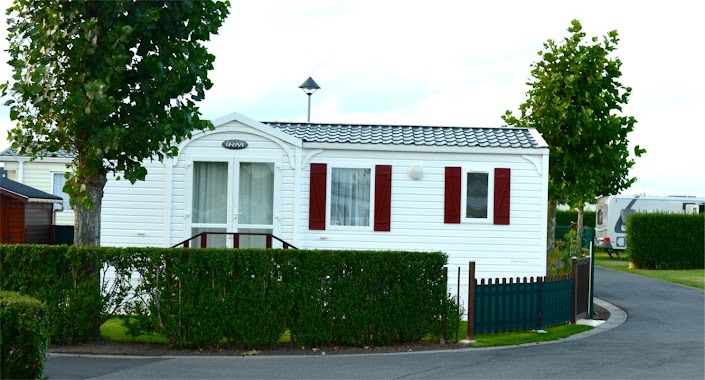
Campground nearby Thalassa
Thalassa
108, Duinenstraat, 8450, Bredene, West-Vlaanderen, BE Belgique
contacts phone
:
+32 59 33 15 82
website:
thalassa.be
Latitude:
51.23945
, Longitude:
2.968249
larger map & directions
read more
nearest Campground
379 m
Asterix
Duinenstraat 200, Bredene
Campground
read more
528 m
Camping Ter Hoeve
Zandstraat 91, Bredene
Campground
read more
540 m
Polderzicht bvba
Zandstraat 95, Bredene
Campground
read more
540 m
Polderzicht
Zandstraat 95, Bredene
Campground
read more
603 m
Camping 't Massenhof
Zandstraat 101, Bredene
Campground
read more
687 m
Park d'heule
Zandstraat 101, Bredene
Campground
read more
776 m
Kampeerverblijf Zandpolder
Zandstraat 103A, Bredene
Campground
read more
776 m
Zandpolder
Zandstraat 103A, Bredene
Campground
read more
880 m
Caravan Bredene
Bredene
Campground
read more
936 m
Camping Duinzicht
Rozenlaan 23, Bredene
Campground
read more
945 m
Camping 't Minnepark
Zandstraat 105, Bredene
Campground
read more
945 m
't Minnepark
Zandstraat 105, Bredene
Campground
read more
949 m
Camping 'T Minnepark bvba
Zandstraat 105, Bredene
Campground
read more
949 m
at 't Minnepark
Zandstraat 105, Bredene
Campground
read more
955 m
Camping Bienvenue
Bredene
Campground
read more
997 m
Duinzicht 17
Rozenlaan 23, Bredene
Campground
read more
997 m
Camping 17 Duinzicht bvba
Rozenlaan 23, Bredene
Campground
read more
1.043 km
Caravane Bredene
Rozenlaan, Bredene
Campground
read more
1.169 km
Florida
Koningin Astridlaan 9, Bredene
Campground
read more
1.19 km
Camping Metsu
Koningin Astridlaan 15, Bredene
Campground
read more
1.196 km
Park Costa
Koningin Astridlaan 47, Bredene
Campground
read more
1.363 km
Jagershof Camping
Bredene
Campground
read more
1.368 km
Camping Duinezwin
Koningin Astridlaan 55B, Bredene
Campground
read more
1.498 km
Camping Thalassa
Bredene
Campground
read more
2.52 km
Camping 't Rietveld
Driftweg 210, Klemskerke - De Haan
Campground
read more
📑
all categories
Accounting
Administrative area level 1
Administrative area level 2
Airport
Amusement park
Aquarium
Art gallery
Atm
Bakery
Bank
Bar
Beauty salon
Bicycle store
Book store
Bowling alley
Bus station
Cafe
Campground
Car dealer
Car rental
Car repair
Car wash
Casino
Cemetery
Church
City hall
Clothing store
Colloquial area
Convenience store
Country
Courthouse
Dentist
Department store
Doctor
Electrician
Electronics store
Embassy
Finance
Fire station
Florist
Food
Funeral home
Furniture store
Gas station
General contractor
Grocery or supermarket
Gym
Hair care
Hardware store
Health
Hindu Temple
Home goods store
Hospital
Insurance agency
Jewelry store
Laundry
Lawyer
Library
Light rail station
Liquor store
Local government office
Locality
Locksmith
Lodging
Meal delivery
Meal takeaway
Mosque
Movie rental
Movie theater
Moving company
Museum
Natural feature
Neighborhood
Night club
Painter
Park
Parking
Pet store
Pharmacy
Physiotherapist
Place of worship
Plumber
Point of interest
Police
Political
Post office
Premise
Real estate agency
Restaurant
Roofing contractor
Route
Rv park, camping
School
Shoe store
Shopping mall
Spa
Stadium
Storage
Store
Subpremise
Subway station
Supermarket
Synagogue
Taxi stand
Train station
Transit station
Travel agency
University
Veterinary care
Zoo
sublocality level 1
sublocality level 2
sublocality level 3
↑