Cemetery nearby Kerkhof van Okegem
Coronavirus disease (COVID-19) Situation
confirmed cases
4861695
deaths
34376
Belgium
Cemetery nearby Kerkhof van Okegem
Kerkhof van Okegem
Leopoldstraat, Ninove Belgien
contacts phone
:
+32
Latitude:
50.8632947
, Longitude:
4.0497053
read more
nearest Cemetery
2.286 km
begraafplaats denderleeuw
Denderleeuw
Cemetery
read more
2.648 km
Kerkhof van Ninove
Denderhoutembaan, Ninove
Cemetery
read more
2.799 km
Kerkhof DENDERHOUTEM
Molenstraat, Haaltert
Cemetery
read more
2.832 km
Begraafplaats Molenstraat
Liedekerke
Cemetery
read more
3.759 km
Begraafplaats
Populierenlaan, Liedekerke
Cemetery
read more
3.897 km
Gemeentelijke Begraafplaats
Liedekerke
Cemetery
read more
4.18 km
begraafplaats Welle
Welleplein 23-29, Denderleeuw
Cemetery
read more
4.334 km
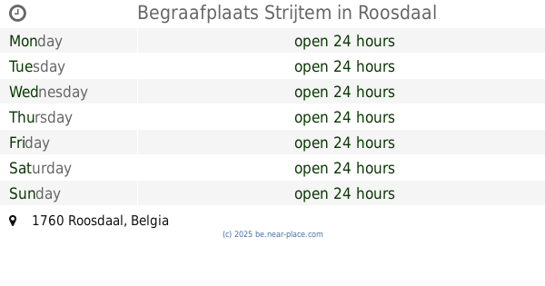
Begraafplaats Strijtem
Roosdaal
Cemetery
read more
4.578 km
Begraafplaats
Haaltert
Cemetery
read more
4.652 km
Begraafplaats Teralfene Affligem
Affligem
Cemetery
read more
4.723 km
Commonwealth War Graves
Ninove
Cemetery
read more
4.937 km
Kerkhof van Meerbeke
Hemelrijk, Ninove
Cemetery
read more
6.074 km
Kerkhof van Nederhasselt
Nederhasseltstraat, Ninove
Cemetery
read more
6.649 km
Kerkhof Erembodegem
Rooms-Hofstraat, Aalst
Cemetery
read more
7.476 km
Cimeriere
Leo de Béthunelaan, Aalst
Cemetery
read more
8.019 km
Begraafplaats Aaigem
Frankrot 9420, Erpe-Mere
Cemetery
read more
9.523 km
Gemeentelijke Begraafplaats
Ternat
Cemetery
read more
11.628 km
Kerkhof van Ophasselt
Waterloos, Geraardsbergen
Cemetery
read more
11.694 km
Kerkhof Herdersem
Kouterbaan, Aalst
Cemetery
read more
11.816 km
Kerkhof Baardegem
Houwelgat, Aalst
Cemetery
read more
12.048 km
Kerkhof van Steenhuize-Wijnhuize
Korrestraat, Herzele
Cemetery
read more
13.127 km
Kerkhof Wieze
Lebbeke
Cemetery
read more
14.597 km
Dilbeek begraafplaats
d'Arconatistraat 35, Dilbeek
Cemetery
read more
16.324 km
Begraafplaats Wichelen
Wichelen
Cemetery
read more
20.421 km
Begraafplaats Buizingen
Kerkhoflaan 25-27, Halle
Cemetery
read more
📑
all categories
Accounting
Administrative area level 1
Administrative area level 2
Airport
Amusement park
Aquarium
Art gallery
Atm
Bakery
Bank
Bar
Beauty salon
Bicycle store
Book store
Bowling alley
Bus station
Cafe
Campground
Car dealer
Car rental
Car repair
Car wash
Casino
Cemetery
Church
City hall
Clothing store
Colloquial area
Convenience store
Country
Courthouse
Dentist
Department store
Doctor
Electrician
Electronics store
Embassy
Finance
Fire station
Florist
Food
Funeral home
Furniture store
Gas station
General contractor
Grocery or supermarket
Gym
Hair care
Hardware store
Health
Hindu Temple
Home goods store
Hospital
Insurance agency
Jewelry store
Laundry
Lawyer
Library
Light rail station
Liquor store
Local government office
Locality
Locksmith
Lodging
Meal delivery
Meal takeaway
Mosque
Movie rental
Movie theater
Moving company
Museum
Natural feature
Neighborhood
Night club
Painter
Park
Parking
Pet store
Pharmacy
Physiotherapist
Place of worship
Plumber
Point of interest
Police
Political
Post office
Premise
Real estate agency
Restaurant
Roofing contractor
Route
Rv park, camping
School
Shoe store
Shopping mall
Spa
Stadium
Storage
Store
Subpremise
Subway station
Supermarket
Synagogue
Taxi stand
Train station
Transit station
Travel agency
University
Veterinary care
Zoo
sublocality level 1
sublocality level 2
sublocality level 3
↑